Introducing Children to Maps and Globes
This month, Little Miss will be learning all about travel, the wonders of the world, and so much more. We had such a good time using the program as a basis of a wider study with the boys last month, so we decided to do it again this month! The whole family will be coming along for the ride, with a geography unit study.
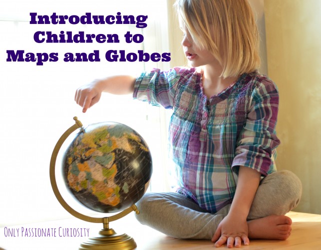
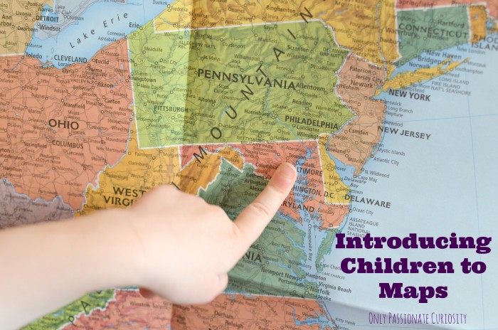
Today was all about maps and globes. Introducing children to maps and globes is such a simple thing to do! You can pack a ton of learning into a day of simple activities.
NOTE: This article was written by Heather, the previous owner of Only Passionate Curiosity.
Introducing Children to Maps and Globes
- Let children explore the globe independently, then help them discover the north pole, south pole, and the equator. Older children can also find the tropics.
- Use a flashlight to illustrate the location of the sun to the earth, and the earth’s tilt. Use the globe to show your children how the earth rotates around the sun at a tilt, and how the spin of the earth gives us daytime and nighttime. Have older kids pay close attention to where on the earth the flashlight shines the most intently. Can they tell when the northern hemisphere is experiencing summertime, and why?
- Check out this Bill Nye video on seasons and the earth’s tilt.
- Have children locate their home on the globe and on the map.
- Have children locate the homes of family and friends on the globe and on the map.
- Show your children the compass rose, and use the saying “Never Eat Slimy Worms” to help kids remember North, East, South and West. Teach them to label a compass.
- Place signs with the cardinal directions in a room (use a compass to find north if possible) and play a game with your kids. Tell them to hop south, or skip west, or run north until they are too tired to play anymore!
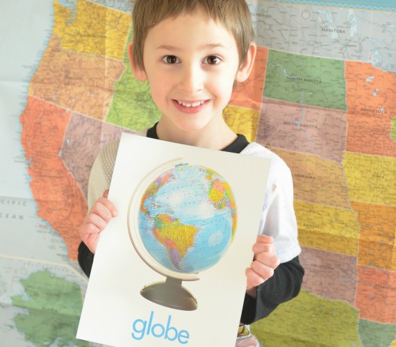
- Use our nifty State flash cards to help kids identify the US States, and find them on the map.
- Have your children draw a map of their home, neighborhood, or city.
- Have older children create a treasure map, and send their younger siblings on a treasure hunt. Have them give directions using the cardinal directions, and maybe even use a compass!
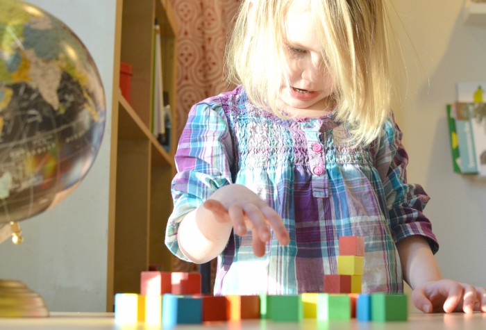
- Have your children create a city map with blocks.
You May Also Like:
Teaching Little Ones About Topographic Maps
Landforms Interactive Notebook
Curriculum-Free Geography? How to Get It Done and Have Fun!
10 Hands-on History and Geography Activities for Kids
Learning Geography Through Play




Praying you get well soon, so you can be the great mama that you are! What a blessing to have such a sweet mom…to hold your hand and make sure you are well taken care of. May the drs. have wisdom to what needs to be done and not just try to cover the problem with pain meds.
My daughter is going into the Marine Corps this May, so I will be a Military Mom soon…yikes!!
Thank you for all the great stuff and ideas you have!! I will have three boys at home, 13, 6, and 4 y.o.